How far Is Elkhart Indiana from South Bend?
Elkhart, Indiana is located about 16 miles (26 km) east of South Bend, Indiana. The drive between the two cities typically takes 20 to 25 minutes, depending on traffic and the route you take. Because the cities are located in northern Indiana along the US-20 corridor, travel between them is quick and common for commuters, shopping, and events.
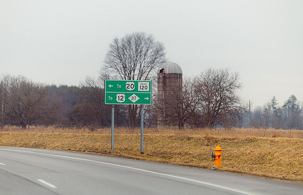
Driving Distance Between Elkhart and South Bend
The driving distance between Elkhart and South Bend is about 16 miles.
Common routes include:
• US-20
• Indiana Toll Road (I-80 / I-90)
• County Road routes through Mishawaka
Most drivers reach South Bend from Elkhart in under half an hour.
Cities Between Elkhart and South Bend
Several communities sit between the two cities, including:
• Mishawaka
• Osceola
• Granger (north of the route)
These towns connect the Elkhart and South Bend metro areas and make the region feel like one continuous urban corridor.
Why People Travel Between Elkhart and South Bend
Travel between the two cities is common for:
• commuting to work
• visiting the University of Notre Dame
• shopping and dining
• regional events and entertainment
Because of the short distance, many residents regularly travel between the cities.
FAQs
Is Elkhart part of South Bend?
No. Elkhart is its own city located east of South Bend in Elkhart County, Indiana.
How long does it take to drive from Elkhart to South Bend?
Most drives take 20 to 25 minutes depending on traffic and the route used.
Published
March 16, 2026